Grenzsteinmuseum Ostrach
Museum on the intricately interwoven borders of Baden, Württemberg, and Hohenzollern in Ostrach – a department in the Amtshaus and an open-air installation.
Over het museum
Ostrach is the only municipality in Baden-Württemberg whose territory includes parts of all three predecessor states: Baden, Württemberg, and Hohenzollern. The often very tangled course of borders in northwestern Upper Swabia, going back to the Middle Ages, is the subject of the Grenzsteinmuseum (boundary stone museum), which was established around the time of Baden-Württemberg's 50th anniversary.
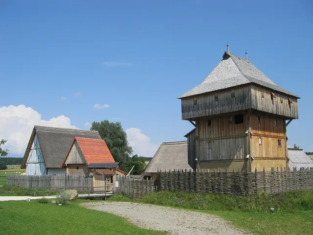
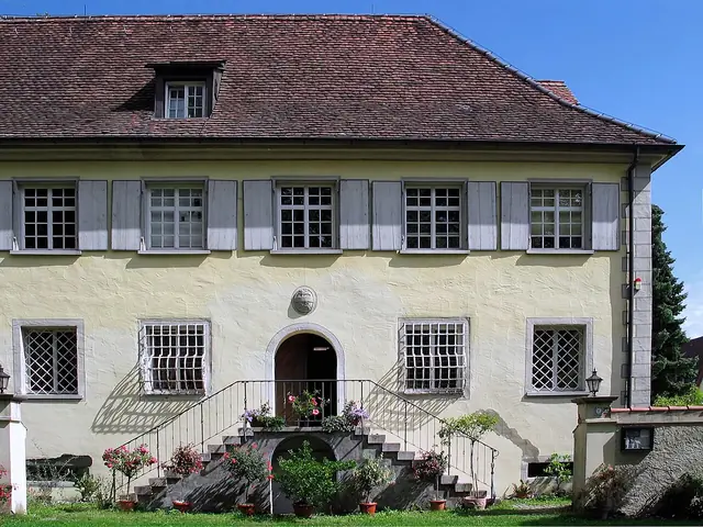
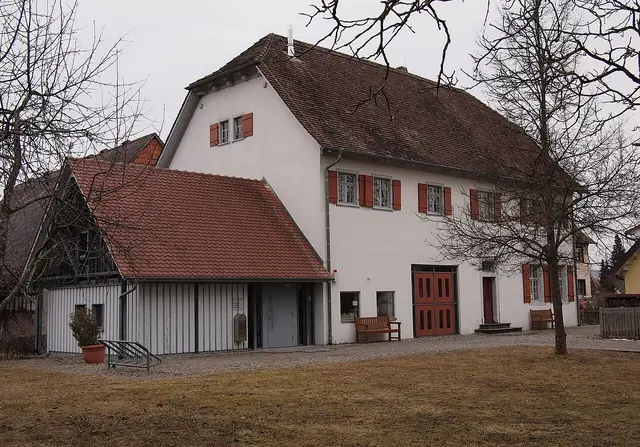
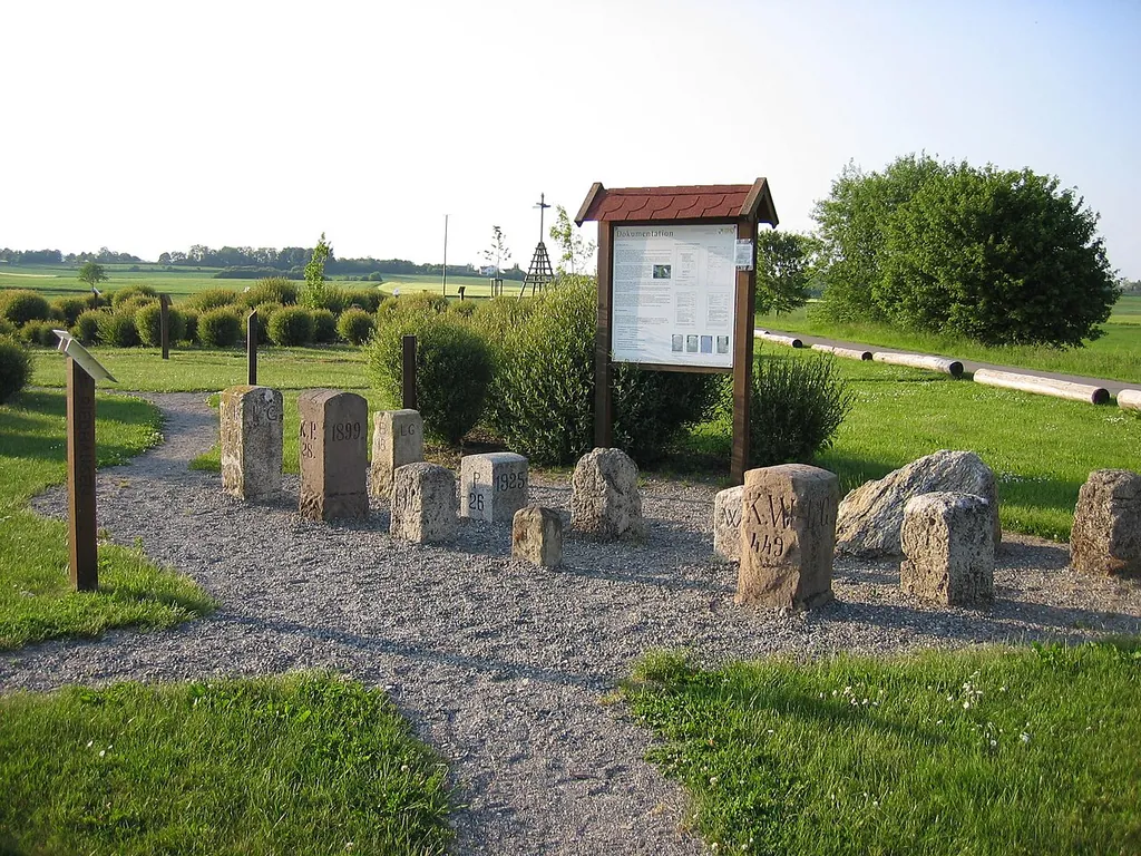
The museum is spread over several locations. In the former Amtshaus (administrative building) from 1595 in the village center, a separate department within the Heimatmuseum shows boundary stones, historic maps, and surveyors' instruments. Near Burgweiler, an open-air installation covering several thousand square meters reproduces the landscape of the Ostrach area at a scale of 1:200 – with fields, forests, streams, villages, and above all the former state borders.
The sites are connected by a surveying trail about 13 kilometers long. On 14 panels it explains the development of land surveying from triangulation to satellite-based positioning and also leads to the tri-state corner near Laubbach.
Hoogtepunten
- Original boundary stones of the former states of Baden, Württemberg, and Hohenzollern
- Open-air installation with true-to-scale landscape model (1:200) near Burgweiler
- Surveying trail about 13 km long with 14 information panels
- Historic maps and surveying instruments in the Amtshaus from 1595
Vaste collectie
- Grenzstein-Abteilung im Amtshaus – Within the Heimatmuseum in the Amtshaus, boundary stones, maps, and surveying devices explain the complicated territorial and state borders around Ostrach.
- Freilichtanlage Burgweiler – A walk-on landscape model at a scale of 1:200 traces the villages, waters, forests, and former state borders of the Ostrach area.
Toegangsprijzen & kortingen
Het museum heeft hierover geen informatie gepubliceerd – vraag het rechtstreeks na bij het museum.
Toegankelijkheid
Het museum heeft hierover geen informatie gepubliceerd – vraag het rechtstreeks na bij het museum.
Kinderen & gezin
Het museum heeft hierover geen informatie gepubliceerd – vraag het rechtstreeks na bij het museum.
Bereikbaarheid & parkeren
Het museum heeft hierover geen informatie gepubliceerd – vraag het rechtstreeks na bij het museum.
Service & horeca
Het museum heeft hierover geen informatie gepubliceerd – vraag het rechtstreeks na bij het museum.
Evenementen & zaalverhuur
Het museum heeft hierover geen informatie gepubliceerd – vraag het rechtstreeks na bij het museum.
Je bezoek plannen
| Rondleidingen | ja |
|---|---|
| Goed om te weten | Guided tours are arranged by the Bürger- und Tourismusbüro of the municipality of Ostrach (Hauptstraße 19). |