Cartoteca storica delle Marche
Collection of historical maps and charts of the Marche in the cloister of the Complesso di Santa Lucia, with a reproduction of a globe by Coronelli.
Have only individual sections read aloud
About the museum
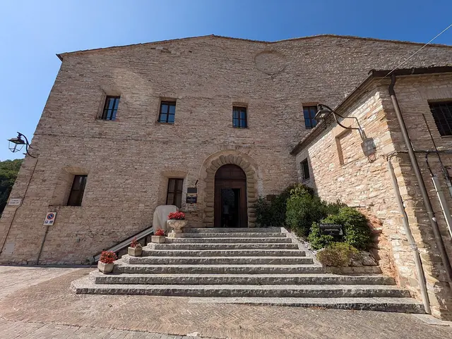
The Cartoteca storica delle Marche is housed in the Complesso di Santa Lucia in Serra San Quirico, a former monastery of the Silvestrine Fathers with a church and a monumental cloister linking the various rooms. The same complex also houses the Parco naturale regionale della Gola della Rossa e di Frasassi (regional nature park), the Museo di Storia Naturale del Territorio (Natural History Museum of the Territory) and the Museo Premio Ermanno Casoli 1998–2007. The collection is run by the Municipality of Serra San Quirico.
The collection offers an educational reconstruction of how the territory of the Marche was represented from the 15th century until the annexation of the Marche to the Italian State in 1860. It documents the historical knowledge of the region through maps, thematic cartography, atlases, prints, photographs, engravings and other graphic and audiovisual documents, for a total of more than three hundred items, enriched over the years by donations and purchases.
The rooms next to the cloister hold key works such as the maps of Mercator and Ortelius and Magini's map of the 17th century, which show the administrative and geographical evolution from the former Duchy of Urbino to the Papal State and the new unified state. In the third room is displayed a faithful reproduction of a terrestrial globe by the Venetian cartographer Vincenzo Coronelli. A bibliographic collection on cartography completes the collection. On request, the collection is open for study, research, educational activities and guided tours.
Highlights
- More than three hundred items among maps, atlases, prints and photographs of the Marche
- Maps by Mercator, Ortelius and Magini
- Reproduction of a terrestrial globe by Vincenzo Coronelli
- Cartography of the territory from the 15th century to 1860
- Housed in the cloister of the former Santa Lucia monastery
Permanent exhibition
- La rappresentazione cartografica delle Marche – Maps and charts from the 15th century to 1860, with works by Mercator, Ortelius and Magini and a reproduction of a Coronelli globe.
- Operated by
- Comune di Serra San Quirico
- Visitors per year
- approx. 1
Admission & discounts
| Adults | €2 |
|---|---|
| Reduced | €1 |
Tariffs given in a listing of Italian museums from 2023; confirm by telephone.
Accessibility
The museum hasn’t published any information on this.
Kids & families
The museum hasn’t published any information on this.
Getting there & parking
By car
Parking available
Visitors arriving by car can park outside the walls of the village.
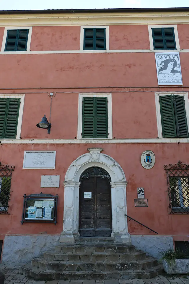
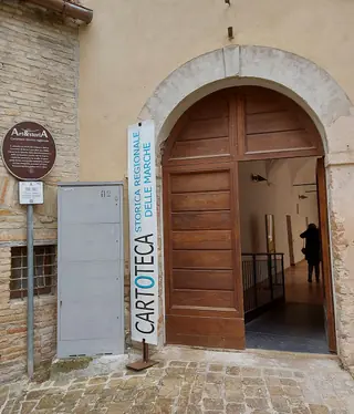
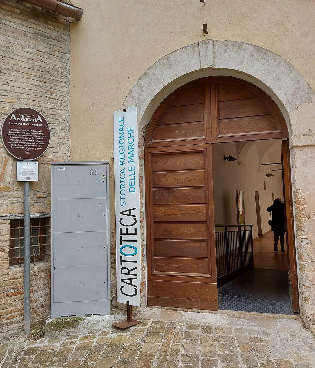
From the main square, climb the staircase to the right of the town hall as far as the church of Santa Lucia. The entrance to the cloister is beside the church entrance.
Get directionsAmenities & dining
The museum hasn’t published any information on this.
Events & venue rental
The museum hasn’t published any information on this.
Plan your visit
| Guided tours | yes |
|---|---|
| School programs | yes |
| Good to know | On request, the collection is open for study and research, educational activities and guided tours. Bookings: +39 0731 818201. |